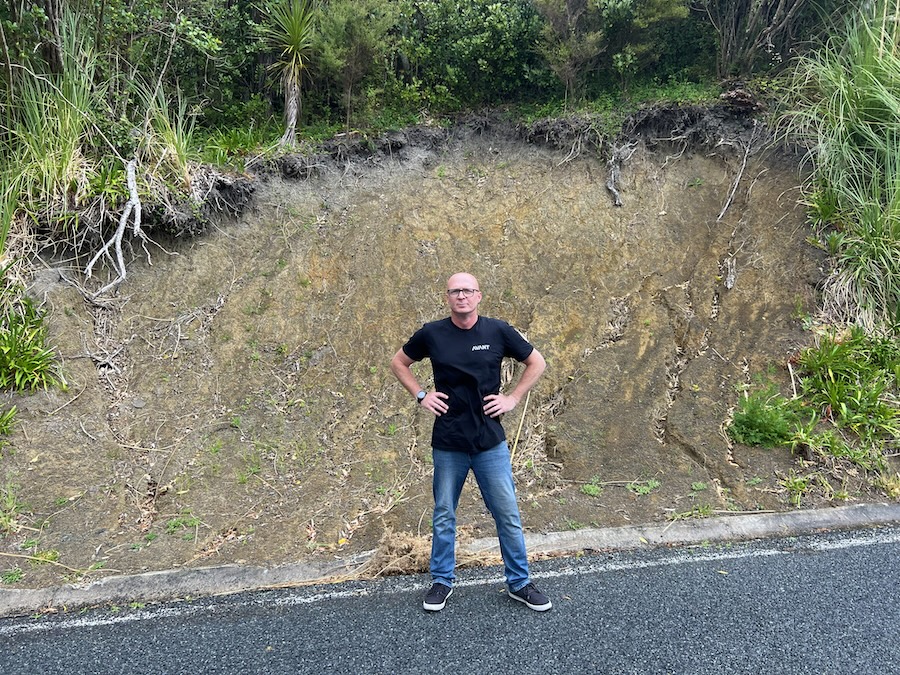
Above: Avant founder Josh McKenty.
Landslides have made plenty of headlines in recent years. And now, a Whangārei-based AI software company is making satellite technology more accessible to everyday New Zealanders, helping homeowners and prospective buyers understand what’s happening beneath their properties.
Founded in 2023, Avant has launched LandSure, a platform that turns around 10 years of satellite ground movement measurements into simpler, ‘plain English’, reports.
The information gives property owners access to information that was previously difficult and costly to obtain.
The technology comes at a time when land movement is becoming an increasing concern across the country. The Natural Hazards Commission received almost 13,000 claims for landslide damage in the five years to May 2026, 10,000 more than the previous five years.
Help property owners make informed decisions
Led by founder Josh McKenty, the Avant team developed LandSure after witnessing damage to homes in Northland and recognising a gap in accessible information for property owners.
“New Zealanders are inclined to live with a sticking door or cracked driveway rather than pay for an investigation, but small problems can become expensive if left unchecked,” McKenty says.
LandSure uses satellite radar measurements from the European Union’s Copernicus Sentinel-1 satellites, processed by UK company SatSense, alongside publicly available property records.
Working in partnership with SatSense and Earth Sciences New Zealand, the platform translates complex information into reports that owners can make more informed decisions about when it comes to buying, building or renovating.
Offer an accessible starting point
“New Zealand has some of the most dynamic ground in the world, which makes it an ideal place to show what this technology can do,” says SatSense chief executive Dr Matthew Bray.
“LandSure has taken a dataset built for specialists and made it genuinely useful to homeowners and buyers.”
Homeowners can check whether satellite measurement data is available for their address for free at landsure.ai, with full reports starting at $345 for sections up to 500 square metres.
While the reports don’t replace professional engineering assessments or guarantee ground stability, they offer a more accessible starting point for investigating potential issues.
Avant plans to expand LandSure’s range of property data products over the next 12 months, bringing more specialist information within reach of everyday New Zealanders.