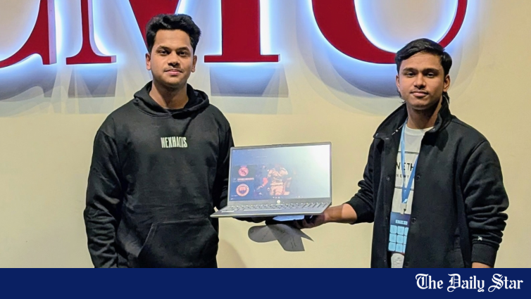
Two Bangladeshi students have won the SpaceXAI “Make It Legendary” challenge at HackMIT 2026, an international hackathon held at the Massachusetts Institute of Technology (MIT) in the United States.
Ashraful Islam Tutul and Md. Tanvir Ibn Alam, both students at Truman State University, developed an orbital safety platform called ‘Scutaris’, which was selected as one of two winning projects in the SpaceXAI sponsor challenge. HackMIT featured more than 1,000 participants this year, while the SpaceXAI challenge was one of 23 sponsor categories at the event.
Ashraful is studying Computer Science with a minor in Data Science, while Tanvir is studying Data Science with a minor in Astronomy. Ashraful led the frontend, 3D visualisation, live search experience, Grok Imagine integration, testing, and presentation. Tanvir handled the backend, orbital data processing, Elasticsearch setup, risk screening, and the five-stage Grok pipeline. The two also worked together on the project idea, system integration, and final demonstration.
Ashraful and Tanvir describe Scutaris as an orbital safety command centre designed to help users identify and understand possible collision risks between satellites and space debris. It uses more than 9,000 real satellite and debris records from CelesTrak and brings the information together through natural language search, risk ranking, AI-assisted analysis, and a 3D visualisation of Earth.
The platform stores orbital records in Elasticsearch, a system that helps organise and search large amounts of information. When a user asks a question, it searches the data and identifies the most relevant possible risks, the duo explained in an interview with The Daily Star. Once a potential threat is selected, Grok, an AI system used by the project, analyses the available information, considers possible responses and limits, and produces a simple briefing. Grok Imagine, another SpaceXAI tool used in the project, can then create a visual risk card that can be shared.
The project also includes an interactive 3D Earth showing satellites, debris, and their orbital paths. It provides information such as the distance between objects when they pass close to each other, the chance of a collision, and the expected time of the closest approach. The team said the aim was to make complex orbital information easier to understand without requiring users to examine thousands of raw records.
The students began development by studying the SpaceXAI and Elastic challenges and deciding to build a project where the sponsor technologies would play central roles. They first collected and organised CelesTrak data before developing the search and risk screening system. They then built the backend, search system, frontend, and 3D globe before integrating Grok and Grok Imagine.
“We also developed the FastAPI backend, search system, frontend, and 3D globe. Finally, we connected Grok and Grok Imagine, tested the complete workflow, and fixed integration problems before the submission deadline,” Ashraful shared.
One of the major challenges was turning thousands of orbital records into consistent, connected and searchable information. The team also had to keep the 3D interface responsive while displaying a large amount of data. Connecting live search, threat selection, AI analysis and image generation also required additional testing. To address these problems, the team divided the remaining tasks, tested individual parts separately, and then brought them together for the final system.
During judging, the team demonstrated how Grok, Grok Imagine, and Cursor were used throughout the development of Scutaris. The project was then selected as one of the two winners of the SpaceXAI challenge.
For the two students, their academic backgrounds also contributed to different parts of the project. Tanvir’s background in astronomy helped the team understand orbital information and select relevant data fields, while Ashraful focused on the user interface, visualisation, search experience, and presentation.
The team plans to continue developing Scutaris beyond its current hackathon prototype. Future work includes more precise calculations of satellite paths and closest approach times, better estimates of collision risks, official satellite safety data, and real-time alerts. They also hope to add historical analysis, shared workspaces for handling incidents and systems that allow humans to approve any future manoeuvre recommendations.
The students emphasised that Scutaris is currently a prototype rather than a flight-ready safety system, and that any operational version would require authoritative data, extensive testing, and collaboration with experts in orbital mechanics and satellite operations.